


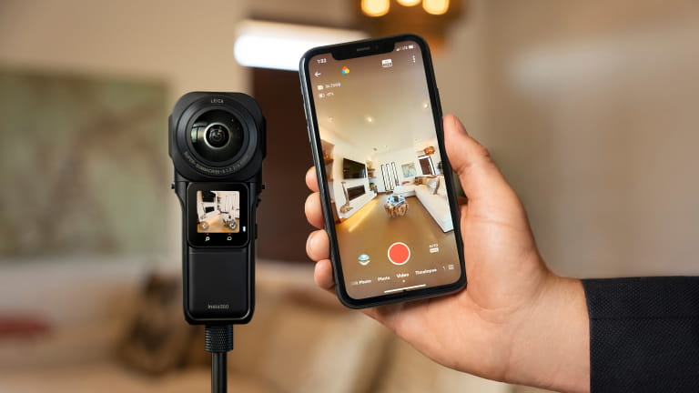


By combining 3D scanning with 360º mapping, 63Pixel create immersive 360º virtual tours that let users step inside spaces from anywhere in the world. Their secret? Insta360 Pro 2.
We sat down with 63Pixel to discuss how Insta360 cameras enable them to create comprehensive, interactive 360º virtual models and provide new digital opportunities for various businesses worldwide.
Putting Businesses on the Map
Founded in 2015, 63Pixel specializes in 3D scanning and 360º mapping, providing clients with highly accurate digital representations of indoor and outdoor spaces. Using LiDAR point clouds and high-resolution 360º imaging technology from Insta360, they create true-to-life 360º virtual tours for various industries, including industrial steel mills, complex installations like blast furnaces, hotels, restaurants, museums, and schools.
By giving businesses a true-to-life digital representation of their building interior and exterior, possible investors can immerse themselves in a company's space before they even step foot inside. Users can create hotspots highlighting interesting areas and designs, including interactive elements, for an impressive visual experience.
Making the Move to Insta360
Traditional scans are typically created with stationary laser scanners or individual photos stitched together via photogrammetry. While these methods provide key textural data, combining individual photos and mapping multiple angles from one position at a time proves to be time-consuming and laborious.
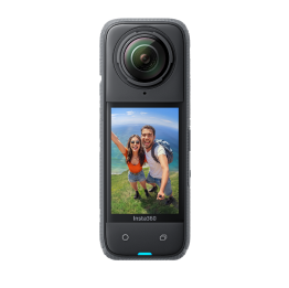
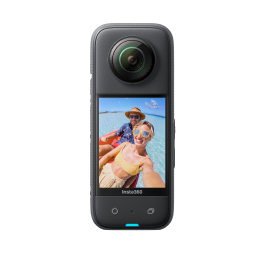
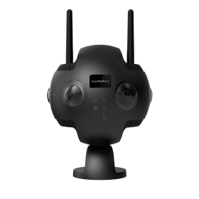
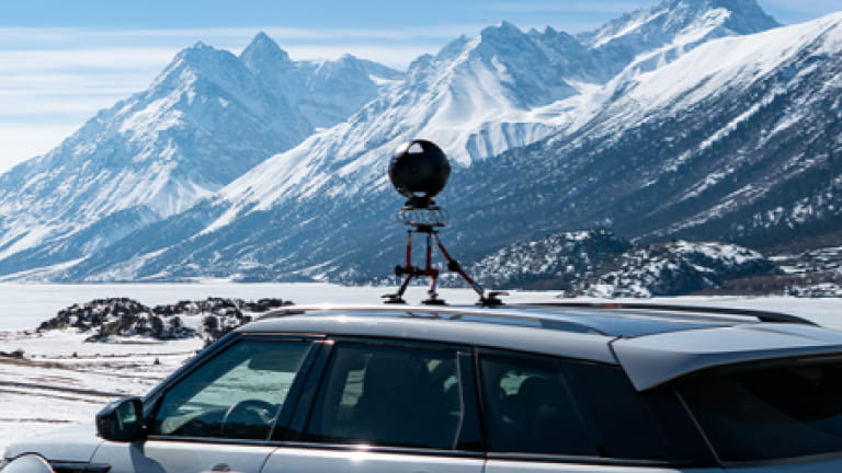
By incorporating Insta360 Pro 2, a portable 360º 3D VR camera with six 120 Mbps lenses, 63Pixel can streamline their workflow to capture six high-quality 8K photos simultaneously, significantly speeding up the process with rapid data capture. Where a stationary LiDAR scan takes about 4–5 hours, Pro 2 takes just 20 minutes to scan and about 60 minutes to process, all done automatically.
"Instead of manually creating hundreds of photos, we can simply walk or drive through an area with our Pro 2. This saves us an incredible amount of time," said Stefan Nitz, CTO of 63Pixel.
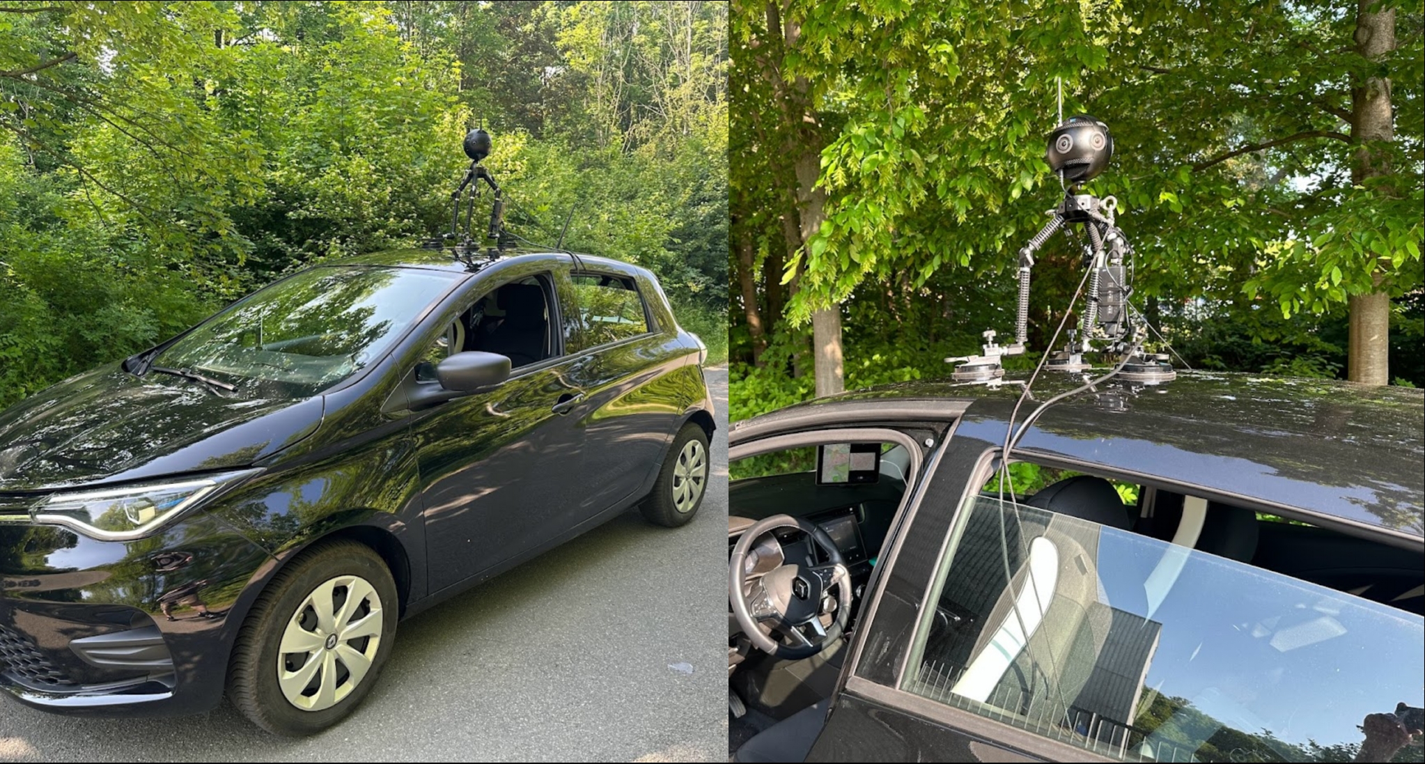
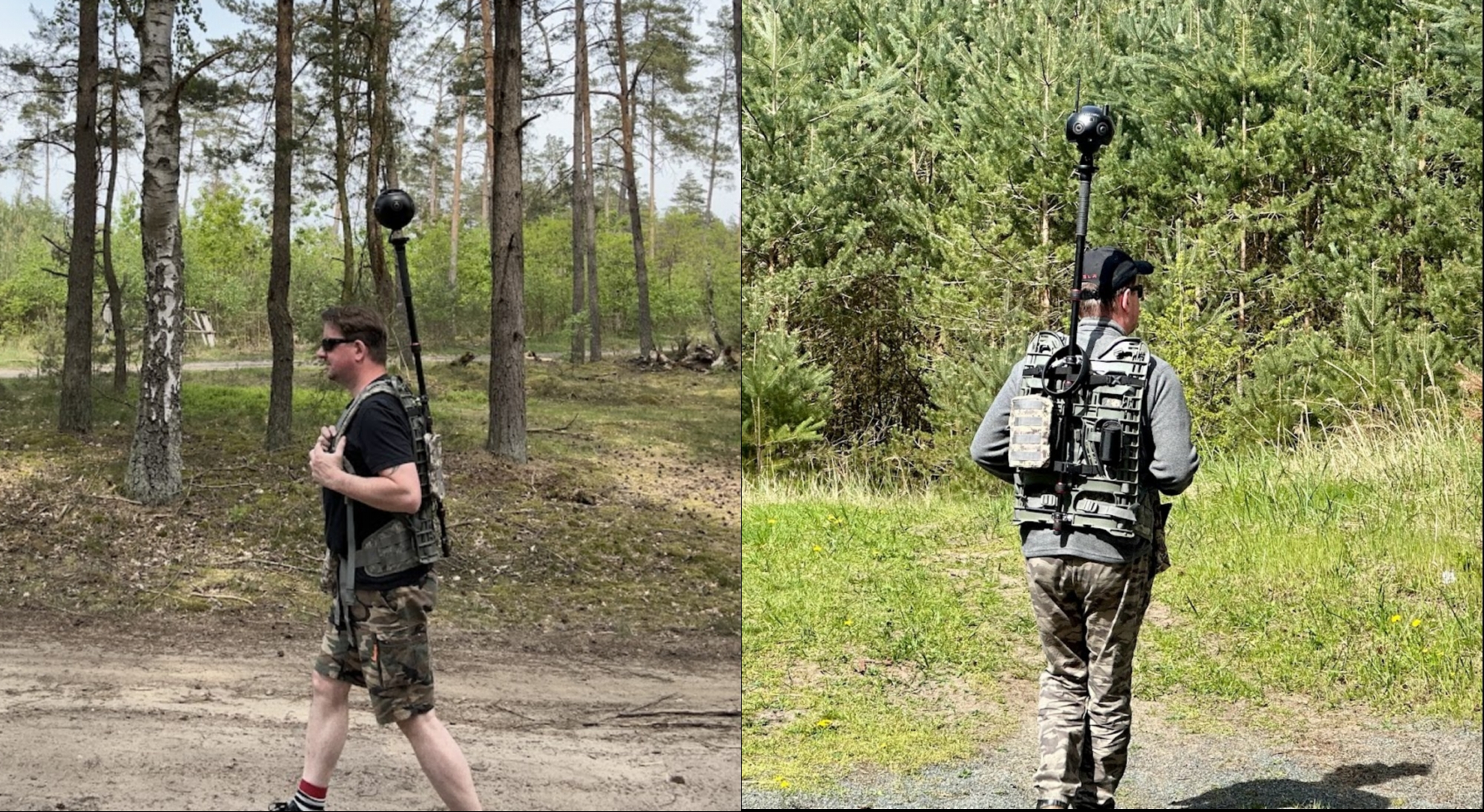
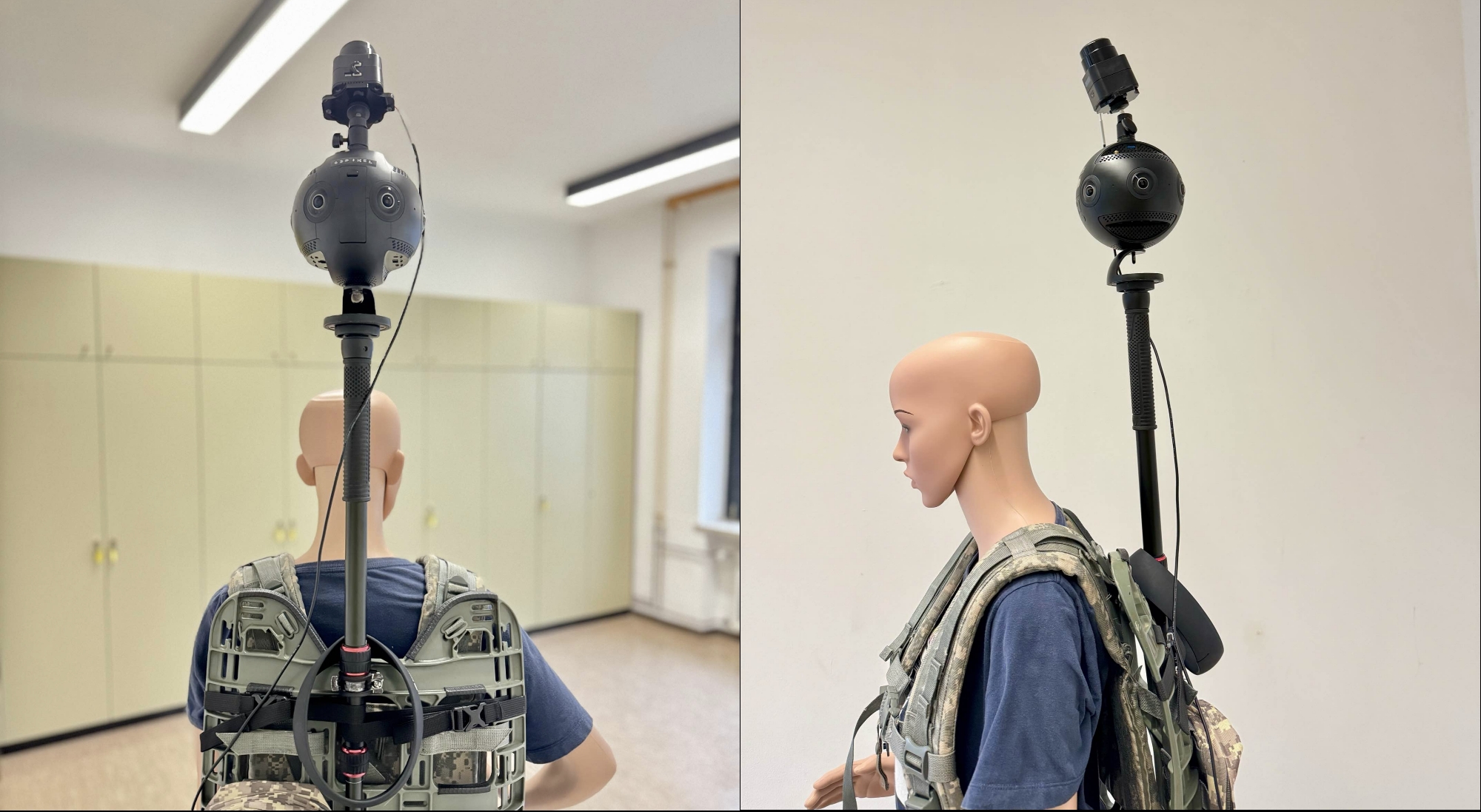
Mapping With Pro 2
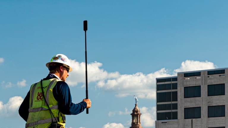
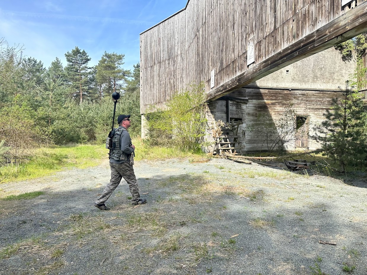
To map walkable areas and larger indoor environments like warehouses, 63Pixel created a custom-designed backpack for Pro 2, enabling efficient data collection in even more areas. They modified Pro 2's GPS antenna to enhance the accuracy of location data and developed their own script to automatically process data from 360º videos. To map large outdoor areas like a city center, 63Pixel developed their own AI-based pothole detection software and an automatic pixelation tool for 360º images.
With superior FlowState Stabilization, long-range live monitoring, and premium 8K capture, Pro 2 has significantly contributed to quicker, more efficient and more precise 3D photogrammetry scans.
With Pro 2 easily mounted onto the backpack around 2.3m above the mappers' head, 63Pixel can record high-quality videos and map virtually any area accessible by walking with no other equipment needed.
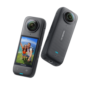
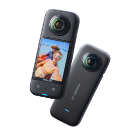
"We consciously chose Insta360 because their price-performance ratio is unrivaled. Pro 2 is just the right size, not too bulky and still portable, offering top-notch quality and high ease of use. RS 1-Inch 360 is primarily used for Matterport projects and quick 360º HDR images to create Google Street View content," added Nitz.
Editing 360º Footage
So, how do they turn raw 360º data from Pro 2 into a 3D model for clients?
The first step is to extract images from each lens. To avoid thousands of photos, 63Pixel's script extracts the individual images around every 2–5m. The free tool FFmpeg is another alternative if you don't have your own script.
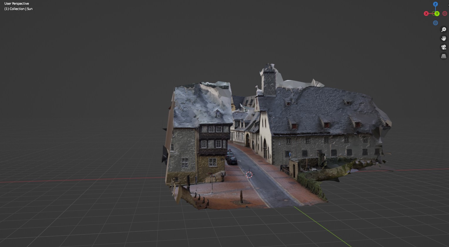
They edit them in Adobe Lightroom and then upload them into the 3D scanning software RealityCapture, which processes the images into a full 3D scan. Finally, they use the free software Blender or Unreal Engine to shape the model into the final 3D image to share with clients. They also use virtual tour software Matterport, a software integrated with Insta360 cameras, to integrate 3D elements with their 360º virtual tours.
.png)
Innovative Solutions for Urban Enhancement
63Pixel's innovative approach to 3D scanning and 360º mapping is changing the face of many industries, including real estate, urban planning and heritage conversation. By combining Pro 2 with precise information from LiDAR sensors, they can create accurate, high-quality 3D models of cities, aiding businesses in detailed planning and constructing future developments.
.png)
One project saw 63Pixel create the lighting concept of a city with the 3D view of a street recorded with Pro 2. They were able to create a realistic model, adding dynamic lighting effects to visualize them in real time. The 3D model demonstrated to the client the different light sources and their intensities, as well as the different angles of illumination on the streets and sidewalks. For another project, they helped a city district plan future constructions. By first mapping the city with Pro 2, they turned the images into a 3D VR video and renderings. Using a VR headset, the client could interact with and view future constructions from every angle on the street in incredible detail.
The Future of 3D Mapping
63Pixel isn't standing still when it comes to technology; they're always looking for the next innovation. For their upcoming projects, they plan to use Insta360 Titan for even more accurate and higher-resolution data. With eight Micro Four Thirds Sensors and 11K image capture, Titan's image quality, dynamic range, low-light performance, and color depth are set to raise the bar for 360º mapping, even in harsh environments.
Insta360 Titan will be integrated with 63Pixel's brand-new LiDAR sensor, PICOSLAM, for rapid floor plan creation. Equipped with a high-performance SLAM LiDAR system and an integrated computing unit, it enables the immediate export of floor plans in DXF format. PICOSLAM is available here.
63Pixel demonstrates exciting possibilities with Insta360 Pro 2, proving its immense value for 3D scanning and 360º mapping. We're excited to see what the future holds for them, and we can't wait to see more innovative solutions incorporating Insta360 cameras.
Keen to keep up to date on Insta360 stories? Keep an eye on our blog and sign up for our mailing list. You can also contact our Enterprise team directly to see how 360 cameras can benefit your business.


%20(1).svg)
%20(1).svg)
.svg)


